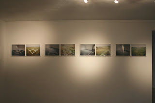
Topographical Dissection:an exploration of the cartographic representation of place
An Introduction
For the past seven months I have been working in a studio in Bollington, a village to the north of Macclesfield. The studio is approximately three miles, in a geodesic line, from my house near the centre of Macclesfield. Once I had moved my things into the space I made a conscious decision to walk the journey from my home to my new studio and that that would be my primary mode of travel until I felt myself adequately acquainted with the journey and then I may use alternative methods of transport.
There are two main routes to Bollington on foot. One being the Middlewood Way, a path made along the old railway line that once linked Macclesfield and Bollington, the other being the canal. After walking both I decided that the canal route was much more interesting so used that path for the majority of the times I made the journey.
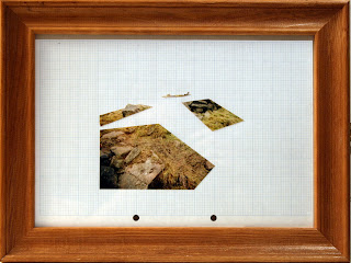
Home to Studio - Studio to Home 2009 - 2010
Photogram on tracing paper photocopy of OS map, ink and pencil
It had been my intention from the outset to use the journey between my home and studio as the source for work. Having made the walk I started to study its shapes on the Ordnance Survey map of the area. The canal stood out to be the mainline link between home and studio, so I focussed my attention there.
My journey spanned the equivalent of five one kilometre squares of the OS map. Through the squares my experience changed from the busy roads of town - people rushing around in their cars to get to the shops, work or to the doctors (there is a medical centre on my road) - to the canal where you notice a sudden change of pace, then back onto the road again into the hustle and bustle of a busy village.
Walking down the steps from the road to the canal...in those few feet you leave the rush behind you and join the relative quiet and calm of still water being gently disturbed by ducks swimming about and the air occasionally being filled with their "quacks" or the powerful glide of a heron looking for its next perch (my personal favourite). The canal offers you a slice of the countryside that you just don't get from the road, and walking offers you a pace that enables you to absorb it. (I should find a quote from Rebecca Solnit's 'Wanderlust: a History of Walking' to go here, but for now I will simply say find it and read it. Wonderful!)
Through the experiences of my early walks along the canal I became interested in the different features and uses of the land that surrounded it.

Town, Boundaries, Land
Photocopy of OS map, ink on tracing paper
I started to think about the layering of the place - town, fields/boundaries, the lie of the land - and how they all related. This became the heart of the work, and the map became the tool to use to explore it.
 Town,
Town, Boundaries,
Land
Photocopy of OS map, ink on tracing paper


